Could You Find Your Way Home on a Sailboat Without GPS? The Old-School Navigation Skills Every Sailor Should Keep

Every sailor before 1990 crossed oceans on compass, clock, and paper. Here are the no-GPS navigation skills worth keeping alive, and how to practice them on your own boat.
*This post may contain affiliate links. Please read our disclosure policy for more info.
Somewhere on every passage, I look at the chartplotter and have the same thought: this little screen knows exactly where we are, and one lightning strike, one dead battery bank, one fried fuse stands between us and the year 1985.
It’s not an idle worry. Electrical gremlins are the most common serious failure on cruising boats, and GPS interference has even started making the news in some parts of the world. But here’s the thing that should make you feel better, not worse: every sailor before 1990 crossed every ocean on Earth without GPS, using skills that still work perfectly and that you can learn on a weekend sail.
Here are the ones worth keeping alive.
1. Dead Reckoning: The Backbone
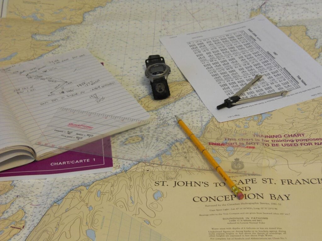
Dead reckoning is beautifully simple: if you know where you started, which direction you’ve steered, how fast, and for how long, you know roughly where you are. Course, speed, time. Sailors ran on it for centuries, marking each day’s position on the chart and starting fresh from there.
Its weakness is drift: currents and leeway nudge you off the line, and small errors compound. That’s why the old-timers updated their dead reckoning with every fix they could get. On your own boat, the practice is easy: keep a paper log of course and speed every hour on passage. If the screens die, your last log entry is your starting point instead of a guess.
2. The Compass You Already Trust
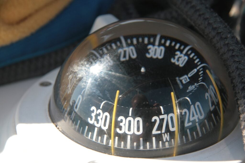
The magnetic compass is the one instrument on board that needs no power, no signal, and no software updates, which is why it has been the heart of navigation for roughly a thousand years. Know your boat’s compass errors: deviation from your own electronics and rigging, and variation for your cruising ground. Swing the compass once, make a deviation card, and that humble dome becomes a genuinely reliable instrument.
3. Paper Charts and Piloting
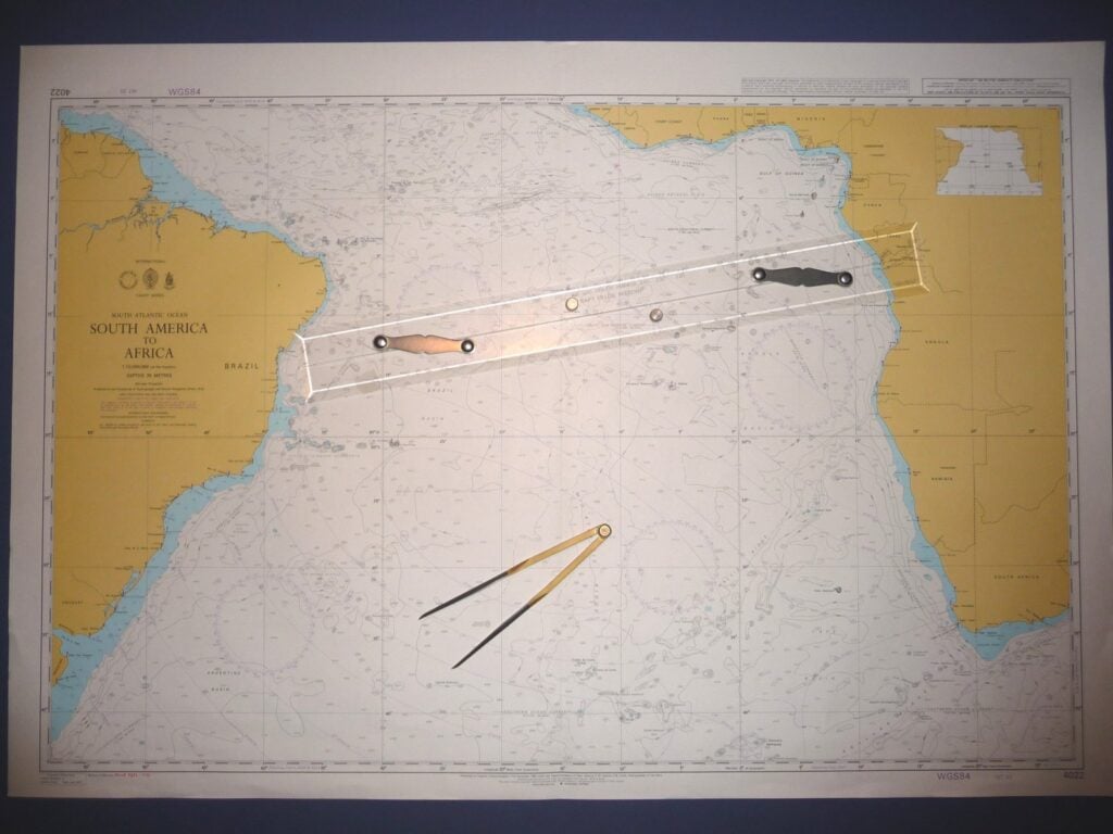
Within sight of land, sailors fix their position with bearings: take a compass bearing on a lighthouse and another on a headland, draw both lines on the chart, and you are where they cross. Add a third for confidence. Ranges (two objects in line), danger bearings past a reef, and distance-off tricks round out the kit. This is called piloting, and honestly, it’s fun: it turns the coastline into a puzzle you can read.
Carry paper charts for your cruising area, even just the small-craft folio or a chart book. A tablet can sub in day to day; the paper is for the day nothing with a screen will turn on.
4. The Depth Sounder Is a Position Instrument
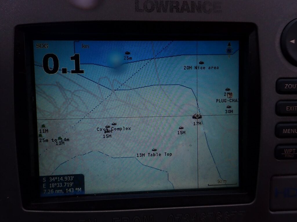
Here’s one old-school trick most modern sailors never learn: your depth contour is a line of position. Fog on a featureless coast? Follow a depth contour on the chart. Sailors with a lead line used the tallow trick, arming the lead to bring up a sample of the bottom, and matched sand or mud to the chart’s notations. The electronic sounder does the same job with less romance.
5. Celestial Basics: More Achievable Than You Think
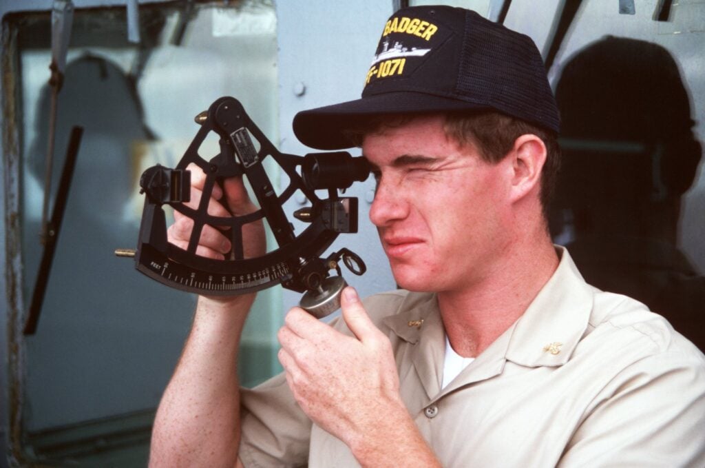
You do not need to master the full sextant art to get real value from the sky. Three things any sailor can learn:
- Polaris gives you latitude. The North Star’s height above the horizon roughly equals your latitude in the northern hemisphere. Sailors steered by it for millennia.
- The noon sight. One sextant sight at local noon gives you latitude with grade-school math. It was the daily ritual of every ship for two centuries.
- Sunrise and sunset bearings. Even without instruments, the sun’s rising and setting points, checked against tables, give you a compass check in mid-ocean.
A plastic practice sextant costs less than a dinner out. Marvin Creamer famously sailed around the world in the 1980s with no instruments at all, not even a compass, reading stars, swells and water temperature. Nobody needs to go that far. But his point stands: the information is out there, hanging in the sky, free.
How to Practice Without Betting Your Boat on It
- Run a paper log alongside the plotter on your next passage and compare your dead reckoning to the GPS track at the end. The gap is your personal error rate, and watching it shrink is addictive.
- Do one bearing fix every daysail until it takes you three minutes.
- Try one screens-off hour in familiar water on a clear day, navigating on compass, watch and chart alone.
- Keep the kit aboard: paper charts, a hand-bearing compass, dividers, a plotting tool, a cheap digital watch, and a battery handheld GPS in a metal tin as the honest backup.
The sailors I most admire treat electronics as a convenience layered over competence, not a replacement for it. The skills in this list kept boats off the rocks for a thousand years, and they’ll keep working long after the fuse blows. And if things ever really go sideways out there, remember: sailors have improvised their way home from far worse. Some of the greatest jury rigs in sailing history are proof.
Want the connectivity side of the equation too? Here’s the exact setup cruisers use to stay connected at sea, and what size boat you really need to cross an ocean.
How did sailors navigate before GPS?
With dead reckoning (course, speed and time from a known starting point), magnetic compass, paper charts, piloting by bearings on landmarks, depth soundings, and celestial navigation with instruments like the sextant. These methods took ships across every ocean for centuries and still work.
What is dead reckoning in sailing?
Dead reckoning estimates your position from your last known fix using the course steered, boat speed and time elapsed. It doesn’t account for current and leeway, so navigators update it with fixes whenever possible, but it remains the backbone of navigation when electronics fail.
Can you still buy paper charts?
Yes. Although official US chart printing has moved to print-on-demand and electronic formats, paper charts, chart books and small-craft folios remain available from chart agents, and most offshore sailors carry at least planning charts for their route.
Is celestial navigation hard to learn?
The basics are easier than most sailors expect. A noon sight for latitude involves one sextant reading and simple arithmetic, and Polaris gives northern-hemisphere latitude directly. Full sight reduction takes study, but a weekend course covers the noon sight and running fixes.
What navigation backup should a cruising boat carry?
A minimum kit: paper charts of the cruising area, steering and hand-bearing compasses with a current deviation card, dividers and plotting tools, a reliable timepiece, tide and light tables, and a battery-powered handheld GPS stored in a protective metal container.